13018 Burns Ct
Groveland, CA 95321
- 2Beds
- 2Baths
- 1,392ft²Living Area
- 0.7acLot Size
- -Pool
- -Car
- 1985Year Built
- -DOM
- -Permit
Property Valuations
Latest estimates for 13018 Burns Ct based on TopHap automated valuation model (AVM).
TopHap Estimate
$413,400
$296/ft²
Updated 6 months ago
13018 Burns Ct is valued at $413,400 by TopHap AVM 6 months ago.
Current Ownership
Information about the current owner(s).
Taxes Billed
Taxes billed in 2023$3,426.44From latest Total Assessed Value1.1%Total Assessed Value$312,035=Land+
Assessed Value$69,335Additions
Assessed Value$242,700
In 2023, taxes billed for 13018 Burns Ct were $3,426.44, which is 1.10% from latest Total Assessed Value of $312,035.
Property History
13018 Burns Ct has undefined property events records (listings, deeds, permits, tax, foreclosure, loan).
Environment
Environmental factors around 13018 Burns Ct
Hazard Risks
Nat'l Avg100Particulates97Earthquake96Ozone85Carb Mono82Air Pollution82Lead38Hail2Hurricane0Tornado0Weather0Wind0
8 hazards (Carbon Monoxide, Earthquake Risk, Hail Index, Air Pollution Index, Ozone Index, Lead Index, Particulate Matter, National Average) are above the national average around 13018 Burns Ct.
Walkability Index
6 /20
Most Walkable
20-18
Very Walkable
17-15
Somewhat Walkable
14-10
Car Dependent
9-0
13018 Burns Ct has a walkability score of 6 out of 20, which means that it is in a car dependent area.
Temperature
Seasonal temperature sampled over multiple years
Winter
Average
Low
23°F
High
49°F
Summer
Average
Low
48°F
High
78°F
In the winter at 13018 Burns Ct, temperatures range from 22.74°F to 49.24°F with an average of 35.99°F. In the summer, the temperature ranges from 48.26°F to 78.07°F with and average of 63.17°F.
School Information
Public/private schools serving 13018 Burns Ct
Public Schools
Nearby public schools serving 13018 Burns Ct have ratings undefined, undefined, and undefined.
Neighborhood
This property is located in 95321.
Seasonal Housing units 95321
82%of housing is for seasonal rent.
Daytime Population for 95321
-12%of people during work hours.
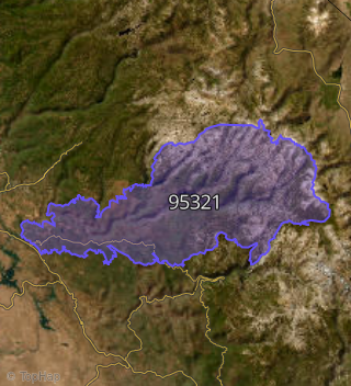
Boundary map of 95321.
Crime Index for 95321
148
The crime index in 95321 is 148, which is 1.5 times higher than national average.
Market Trends
Historical market data near 13018 Burns Ct over selected time period.
Nearby Properties on Burns Ct
- 13028 Burns Ct, Groveland, CA 95321 is a 1,896 square foot, 4 bedroom, 2 bathroom, 0.32 acre property. It was built in 1978 and has an estimate of $332,817 with a price per ft² of $176.
- 13014 Burns Ct, Groveland, CA 95321 is a 2,300 square foot, 3 bedroom, 3 bathroom, 0.32 acre property. It was built in 1991 and has an estimate of $359,758 with a price per ft² of $156.
- 13018 Burns Ct, Groveland, CA 95321 is a 1,392 square foot, 2 bedroom, 2 bathroom, 0.69 acre property. It was built in 1985 and has an estimate of $244,913 with a price per ft² of $176.
- 13024 Burns Ct, Groveland, CA 95321 is a 1,904 square foot, 3 bedroom, 2 bathroom, 0.23 acre property. It was built in 1984 and has an estimate of $291,180 with a price per ft² of $153.